")
The National Weather Service issued Flash Flood Watch for Fairfax County and surrounding areas.
The watch was issued around noon and is in effect until 8 p.m. tonight (July 31).
More from NWS:
* Until 8 PM EDT this evening
* Showers and thunderstorms capable of producing very heavy
rainfall are expected across the area this afternoon and into
the evening. This heavy rain may lead to localized total
rainfall amounts of up to 3 inches. Much of this rain may fall
in short periods of time in any given location, resulting in the
risk for flash flooding.
Heavy rain up to 3 inches could pose a risk for flash flooding, according to NWS.
A Flash Flood Watch has been issued for areas along the I-95 corridor from Washington D.C northward through Maryland until 8 pm. Showers and thunderstorms capable of producing heavy rain may lead to localized areas of flash flooding. pic.twitter.com/YH3IWjo14R
— NWS DC/Baltimore (@NWS_BaltWash) July 31, 2019
File photo
Recent Stories

Volunteers recently assembled at Tysons Forest for an Earth Day nature walk and litter cleanup (via Fairfax County Department of Cable and Consumer Services) The continued development of Tysons doesn’t…
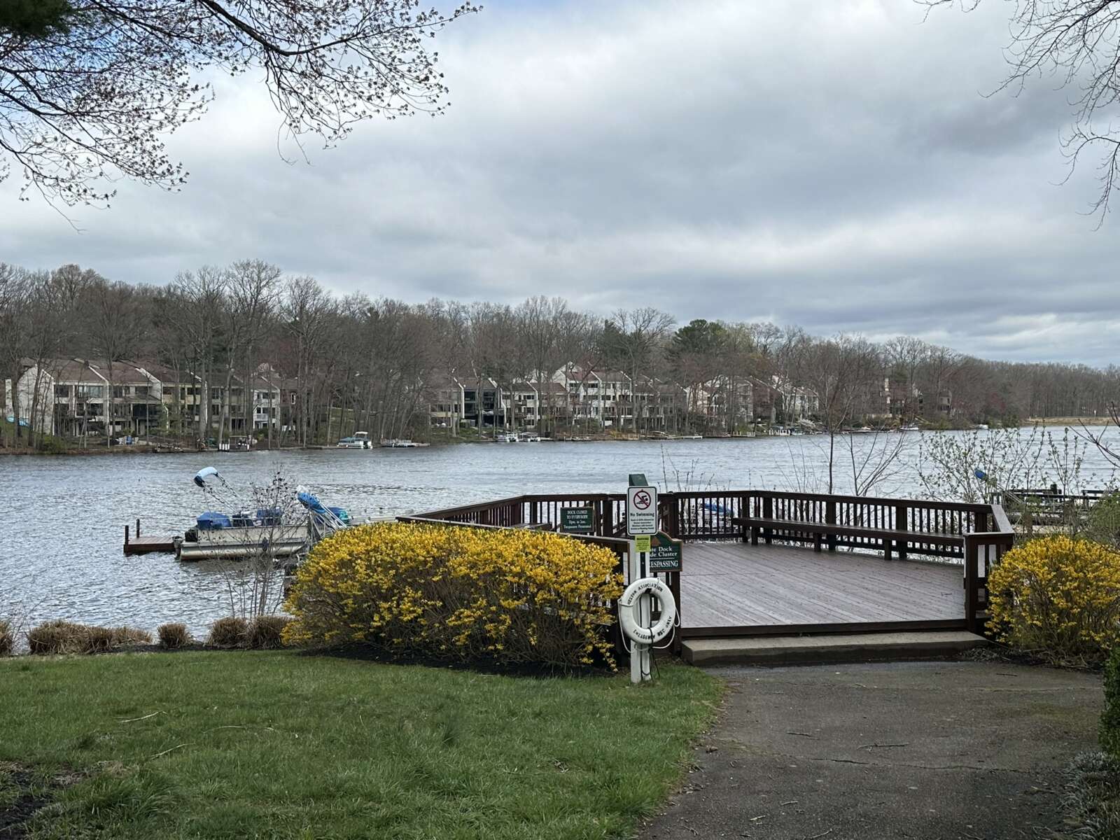
A private boat dock on Lake Anne in Reston (staff photo by Angela Woolsey) Sentencing of Driver in Fatal Oakton Crash Delayed — “The sentencing hearing in the manslaughter case of…

The Spring Hill Rec Center now has an active rooftop solar panel array (courtesy Fairfax County Park Authority) The Spring Hill Rec Center in McLean is now being partly powered…

W&OD Trail in Herndon (staff photo by James Jarvis) The Washington & Old Dominion (W&OD) Trail has reached the half-century mark. The Northern Virginia Regional Park Authority (NOVA Parks) is…