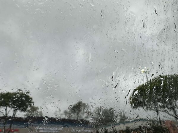
Some pretty gnarly weather is bearing down on Fairfax County and the rest of the D.C. area.
The National Weather Service has issued a Severe Thunderstorm Watch for the region until 9 p.m.
A Hazardous Weather Outlook issued earlier that could last until midnight forecast heavy storms with the worst impact expected to be east of I-81, including Fairfax County, where the likelihood of severe weather is considered “moderate.”
“Damaging wind gusts and large hail are the primary threats along with the possibility of a brief tornado,” Fairfax County said in a blog post sharing the NWS alert. “Additionally, there is a threat for flash flooding across the entire outlook area this afternoon and evening.”
Severe thunderstorms are possible this afternoon with localized damaging wind gusts and large hail being the primary threats. Please stay weather aware, and be ready to seek shelter if warnings are issued. pic.twitter.com/cw9lnHTCmC
— NWS Baltimore-Washington (@NWS_BaltWash) June 26, 2023
[2:20 PM] – A SEVERE THUNDERSTORM WATCH IS IN EFFECT UNTIL 9 PM THIS EVENING.
Localized damaging wind gusts, hail, and rain that may cause flash flooding are possible. pic.twitter.com/Bzyn38J36R
— Ready Fairfax (@ReadyFairfax) June 26, 2023
According to the Virginia Department of Transportation, the region along and east of I-95 could see wind gusts of “up to 75 mph, large hail and possible isolated tornadoes.”
The department is advising travelers to pay close attention to weather reports and to potential limit travel as conditions evolve, warning that the storm could take down trees and power lines and result in flooding.
“Whenever severe weather is expected, we partner with the Virginia Department of Emergency Management and Virginia State Police to coordinate efforts,” VDOT Commissioner Stephen C. Brich said. “Teams throughout the Commonwealth are prepared to address impacts from this storm. We ask for the public’s assistance to remain safe and stay aware of changing weather and road conditions in their area and along their travel routes.”
The storms are moving to the East Coast from the Midwest, which were hit by hail ranging from the size of a baseball to a grapefruit yesterday (Sunday), according to the Capital Weather Gang. Tornadoes have reportedly damaged dozens of homes and killed at least one person in Indiana.
Here’s more advice on navigating the upcoming weather from VDOT:
Obey all “road closed” signage.
“Turn around, don’t drown” – Do not attempt to travel through flooded roadways. According to the Centers for Disease Control, the primary causes of flood-related deaths occur to individuals driving into or walking in or near flood waters.
- 6 inches of flood water is enough to knock an adult off of their feet
- 12 inches can move most cars
- 18-24 inches can carry away most large SUVs, vans and trucks
Be alert to debris, downed trees and power lines
Move over for emergency crews operating in or near roadways
Be alert to High Wind Advisories, especially on bridges or taller structures. High-profile vehicles such as tractor trailers, SUVs or box trucks are especially vulnerable and should not cross a bridge when a High Wind Advisory is posted.


