![]()
The pedestrian and bicycle network around the West Falls Church Metro station in Idylwood is uncomfortable to use in some places and nonexistent in many others, a newly released report found.
The West Falls Church Active Transportation Study confirms community complaints that local roads are unsafe and inadequate for current residents, let alone the influx of newcomers anticipated with 1.8 million square feet of new development planned in the transit station area (TSA).
Faced with transportation infrastructure often designed to move drivers at the expense of other road users like pedestrians and bicyclists, the report proposes an array of potential improvements, from new sidewalks to a road diet on Haycock Road.
“Providing active transportation accommodations in a built-environment can be challenging and costly, but it is vital, especially for areas that are focused on transit-oriented development,” the report said. “Safe and comfortable sidewalks and bicycle facilities may encourage transit usage as they can provide access to more people within transit station areas.”
Developed by Fairfax County staff and an advisory group of residents and road safety advocates, the study launched last December after the Board of Supervisors set the stage for redevelopments of the Metro station and Virginia Tech’s Northern Virginia Center campus, raising concerns that the added density will exacerbate safety and congestion issues in the area.
With major construction already underway on the former George Mason High School campus in Falls Church City, the report states that the new developments will “likely result in an increase in traffic on the area’s roadways.”
For example, on Route 7 (Leesburg Pike), where the majority of crashes in the TSA over the past five years are concentrated, daily traffic volumes are projected to rise from about 30,000 vehicles prior to the pandemic in 2010 to over 50,000 vehicles in 2045.
")
Projects recommended by the report include sidewalks, shared-use paths and paved trails on several roads. It also proposes safety measures at key intersections, such as flashing beacons for the Washington & Old Dominion Trail crossing at Virginia Lane and a pedestrian refuge on Idylwood Road near Lemon Road Elementary School.
Some of the recommended high-visibility crosswalks on Leesburg Pike at the Idylwood, I-66 and Pimmit Drive intersections have already been added, as of October, according to footnotes in the report.
The report also suggests considering road design or operational changes, including road diets, one-way streets near the Metro station, and “slow streets” with lower speed limits, traffic barriers and limited access.
")
Road diets repurpose existing travel lanes for bicycle lanes, transit, parking or other uses, though the Virginia Department of Transportation typically uses them to create center left-turn lanes. The report proposes Haycock Road between Turner Avenue and Falls Church City, and Great Falls Street on the I-66 overpass as possible candidates.
Slow streets would be a new concept for Fairfax County, but D.C. experimented with them during the first year of the pandemic, and some cities, particularly in California, are adopting them permanently.
The report suggests testing the idea with one or two local streets, such as Chestnut and Gordons Road between Dale Drive and Shreve Road or Highland Avenue between Haycock and North West Street.
“As with road diets, slow street projects would require an assessment of the potential traffic impacts and must be closely coordinated with VDOT and affected members of the community,” the report says.
The Fairfax County Board of Supervisors formally accepted the report yesterday, directing county staff to incorporate the recommendations into the countywide active transporation plan and identify possible funding sources.
Dranesville District Supervisor John Foust, who represents the TSA, along with Providence District Supervisor Dalia Palchik, said he’s “absolutely confident” that the report accurately reflects the needs and priorities of the community.
“I frequently walk those areas personally, and I believe this study does a good job of describing existing pedestrian and bicycle conditions and needed improvements in the area and of prioritizing safety and access improvements that are needed,” he said.
Recent Stories
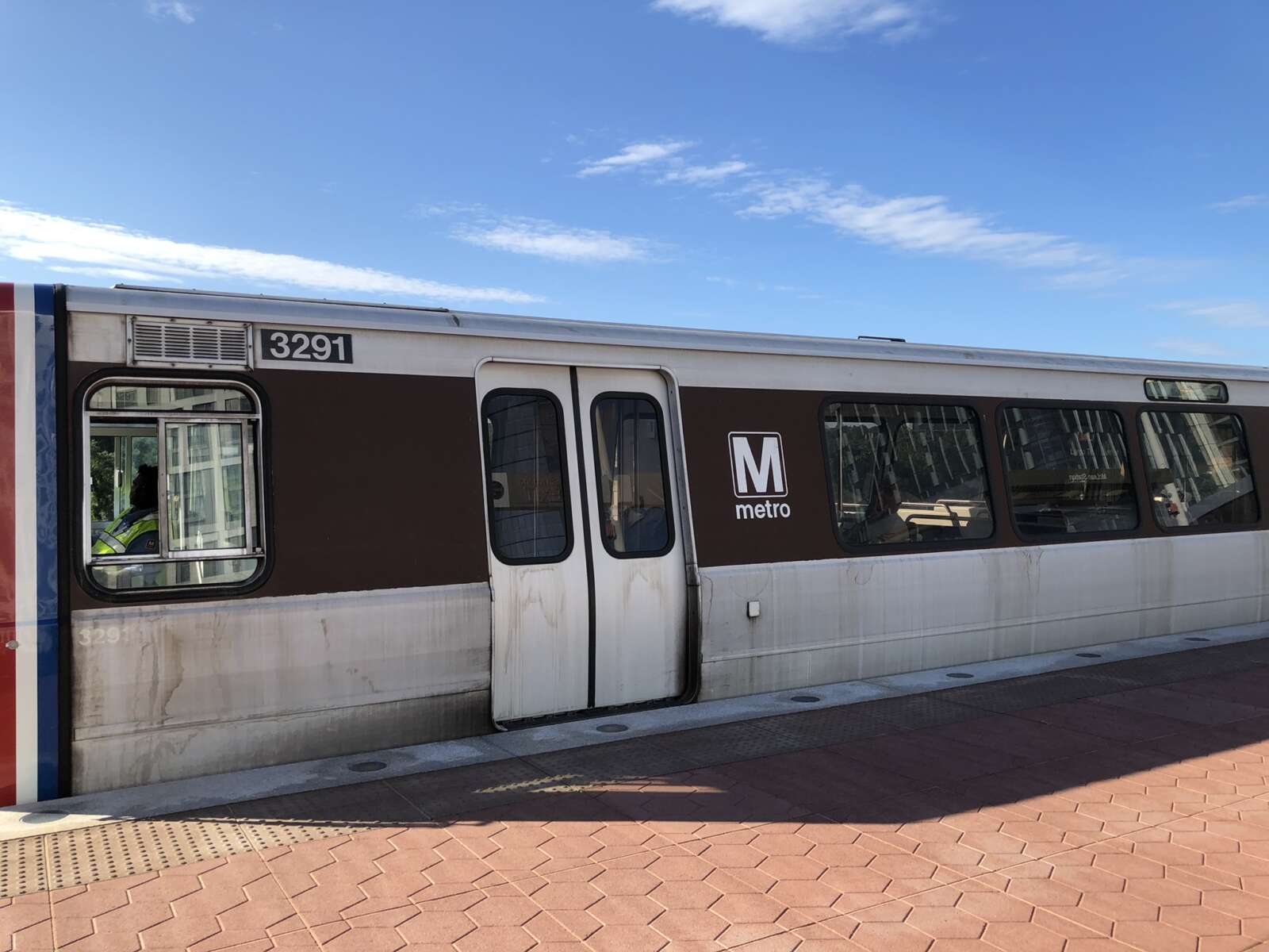
A train at the McLean Metro station platform (file photo) The Fairfax County Board of Supervisors is asking the county’s General Assembly delegation to oppose Gov. Glenn Youngkin’s proposed funding…
8220 Crestwood Heights Drive (image via Google Maps) Fairfax County Fire and Rescue responded to a fire at a high-rise on the 8200 block of Crestwood Heights Drive in Tysons…
Cat (staff photo by Vernon Miles) Cat declawing to be banned in Virginia — “Veterinarians will not be allowed to declaw cats in Virginia starting in July, unless there are certain…
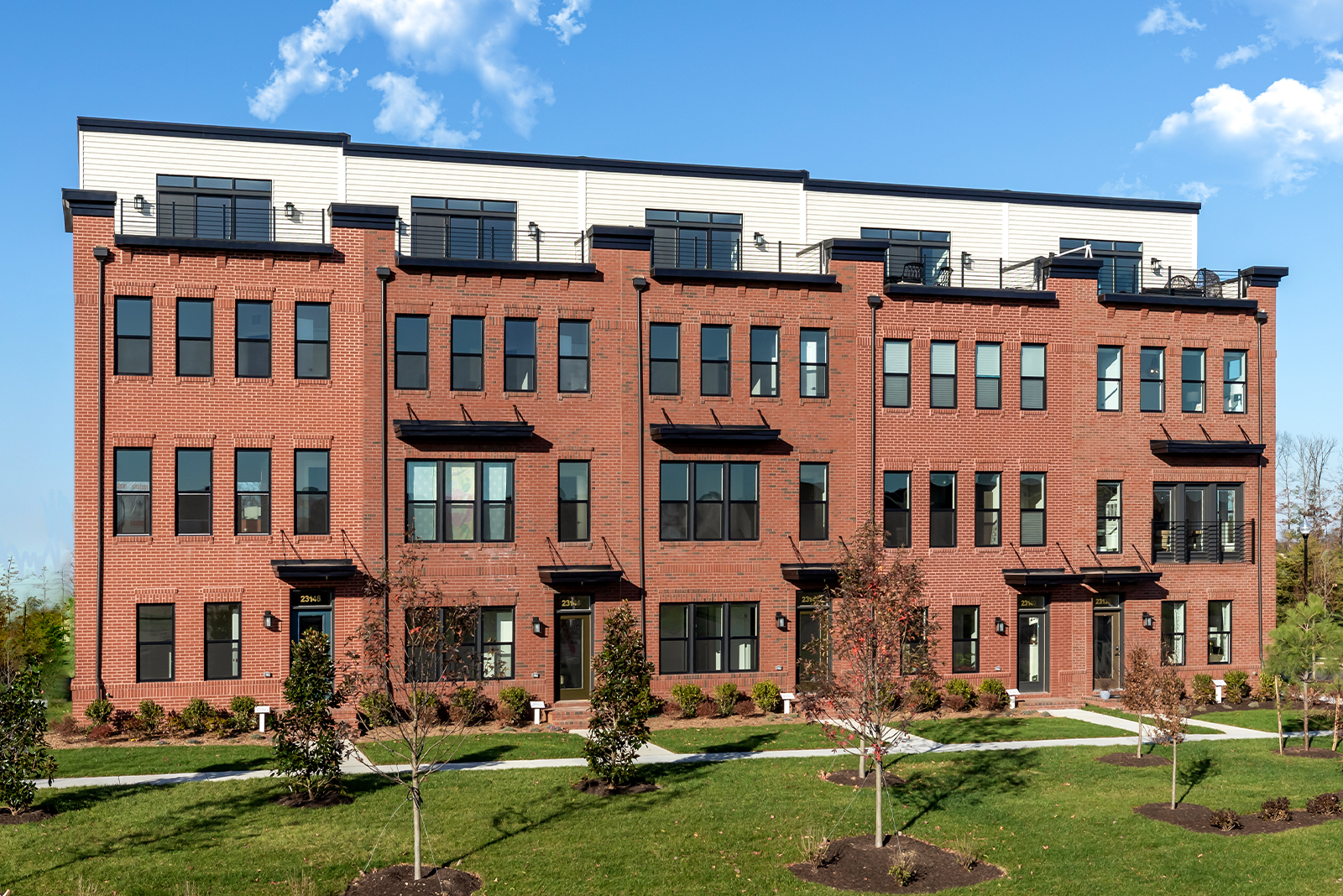
The Knutson Companies is thrilled to announce new opportunities for Loudoun County living with the release of a new section of rooftop terrace townhomes and a brand new community of…