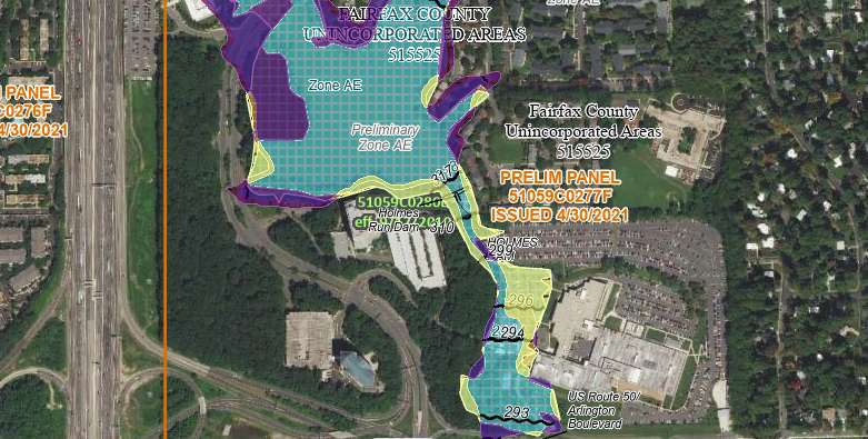
The parts of Fairfax County most at risk for flooding have shifted over the past 10-plus years, according to new flood insurance maps that are currently available for public review and appeals.
“Residents, business owners and other community partners are encouraged to review the updated maps to learn about local flood risks and potential future flood insurance requirements,” the Federal Emergency Management Agency said in a news release on Wednesday (April 27).
Recent Stories

Live Fairfax is a bi-weekly column exploring Fairfax County. This recurring column is sponsored and written by Sharmane Medaris of McEnearney Associates. Questions? Reach Sharmane at 813-504-4479. Sold by Sharmane and Style by Valentine teamed up…
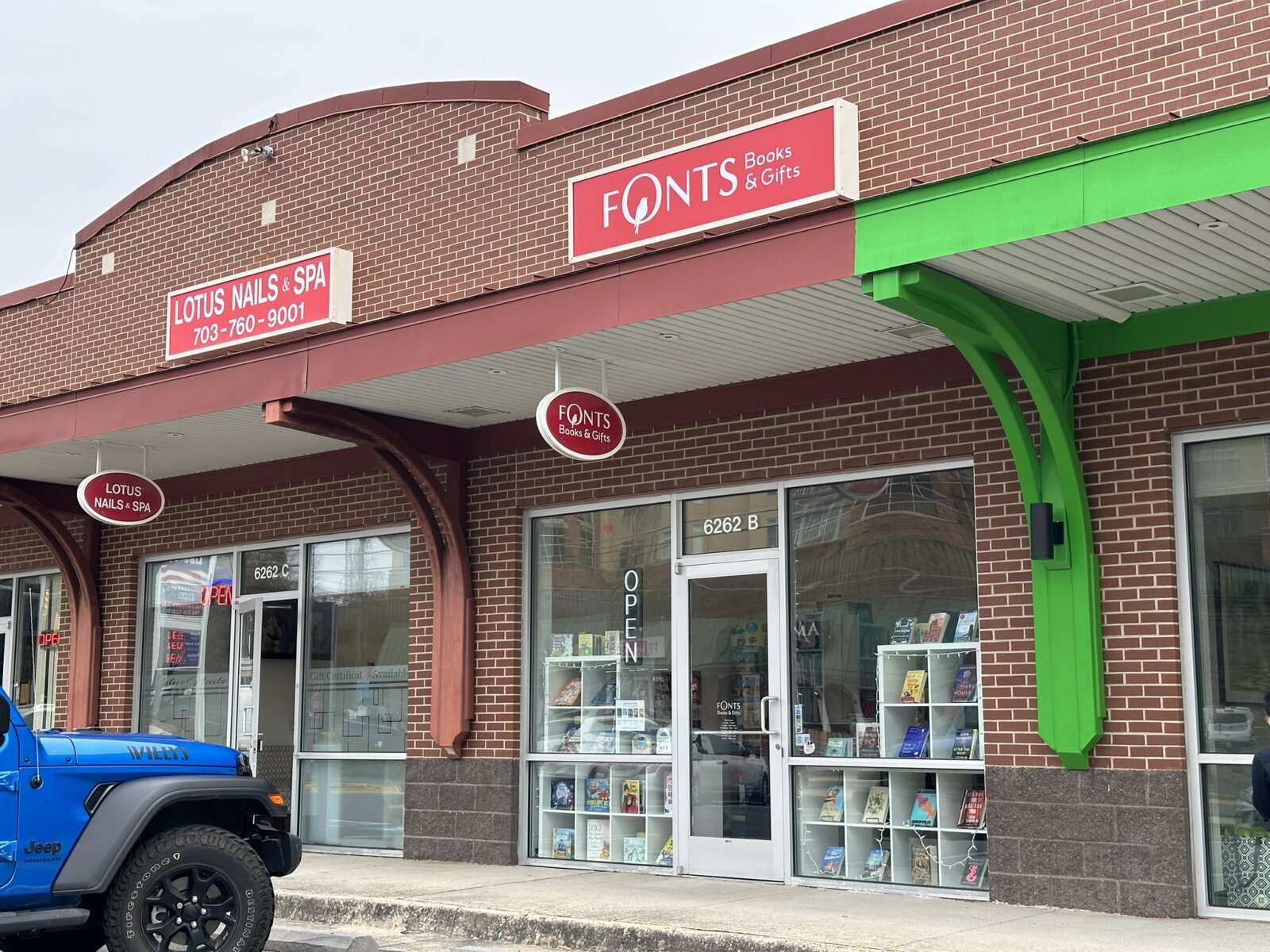
For this year’s Independent Bookstore Day, local bookworms will be encouraged to collect not just new literary titles, but also places to buy them. More than a dozen shops across…

The cost of riding Metro trains and buses will go up, starting July 1, when the transit agency’s new budget takes effect. The Washington Metropolitan Area Transit Authority’s (WMATA) board…

Volunteers recently assembled at Tysons Forest for an Earth Day nature walk and litter cleanup (via Fairfax County Department of Cable and Consumer Services) The continued development of Tysons doesn’t…