Tysons East has been in the spotlight a lot lately.
Apple is eyeing Scotts Run, a development in Tysons East, as a potential new office location. Greater Greater Washington just profiled the neighborhood, calling it a “glitzy, suburban” area that may someday be a haven for “creative class” professionals.
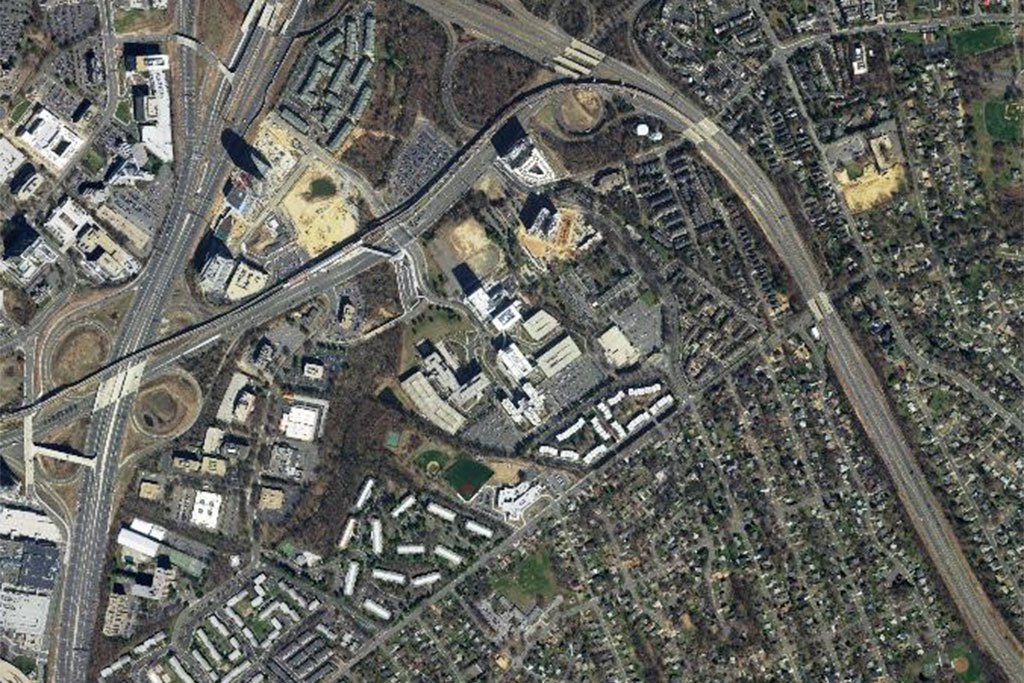
Like we did with Tysons Corner Center mall and Maple Avenue in Vienna, we’re using Fairfax County’s aerial photography maps to explore the history of the still-expanding Tysons East.
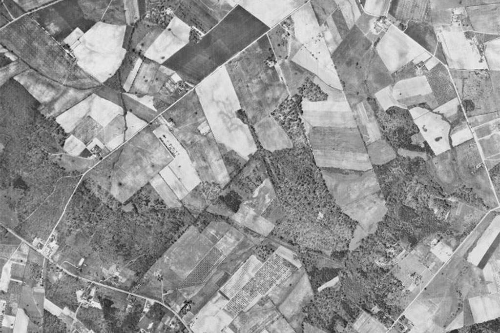
The earliest photography in 1937 shows the area as plots of farmland. The first development at the site was Pimmit Hills, built in the 1950s as a home for veterans of World War II and the Korean War. The photography from 1953 shows the neighborhood still in development, and by 1960 it had taken the general shape it still exists in today.
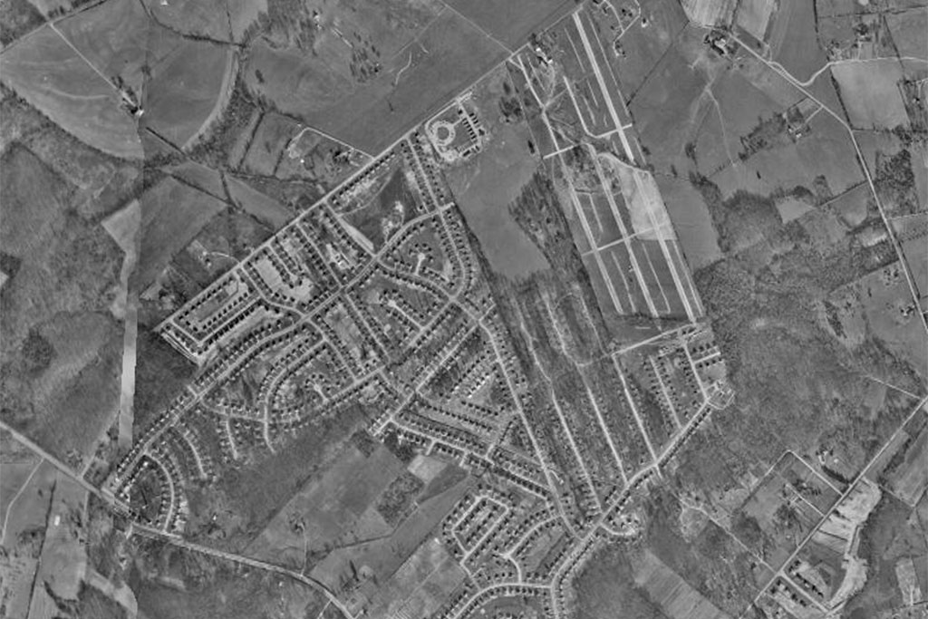
From there, the story of Tysons East’s development moves north. In the 16 years between 1960 and the photography from 1976, the area north of the Pimmit Hills exploded with new development. The construction of the Capital Beltway in 1964 and the construction of the Tysons Corner Center mall in 1969 helped spur new development in the area.
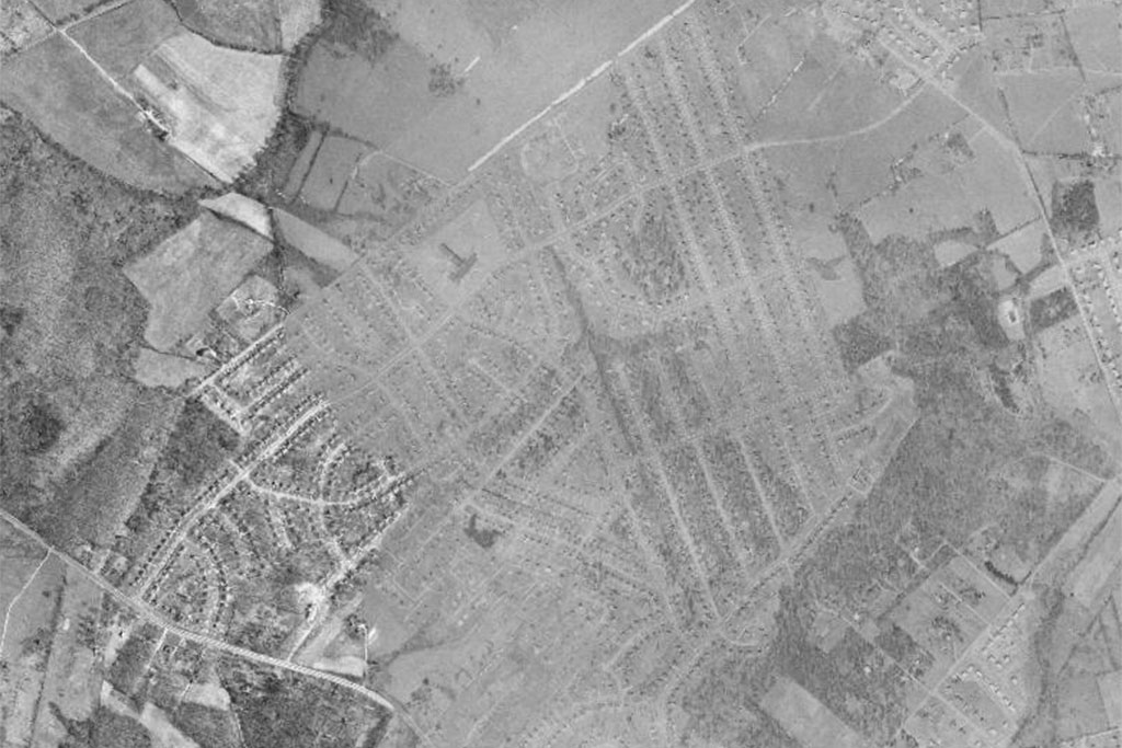
The aerial photography from 1990 shows continued growth in the area. In 1985, the Dulles Toll Road was extended from the Beltway to I-66, completely surrounding Pimmit Hills and the Tysons East development with major highways.
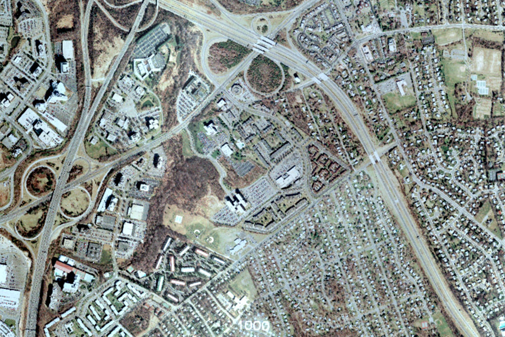
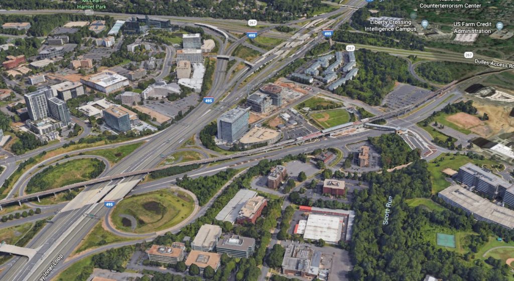
The largest change between 1990 and 2017 is the redevelopment of the smaller office buildings into major corporate campuses. Photography from 2017 shows areas of the Capital One complex, like the Capital One Tower, still under construction. Professor Stephen Fuller, Professor of Public Policy at George Mason University, said the complex is likely to be an anchor for new development in Tysons East.
Photo (7) via Google Earth
Recent Stories

Beaver munching on grass by Walney Pond in Chantilly (staff photo by Angela Woolsey) Shake Shack proposed for Kamp Washington Shopping Center — “Fairfax City Board of Architectural Review approved…
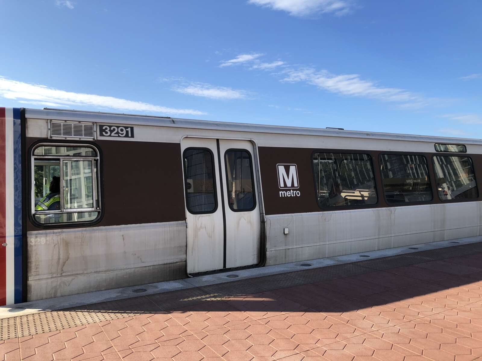
A train at the McLean Metro station platform (file photo) The Fairfax County Board of Supervisors is asking the county’s General Assembly delegation to oppose Gov. Glenn Youngkin’s proposed funding…
8220 Crestwood Heights Drive (image via Google Maps) Fairfax County Fire and Rescue responded to a fire at a high-rise on the 8200 block of Crestwood Heights Drive in Tysons…

Cat (staff photo by Vernon Miles) Cat declawing to be banned in Virginia — “Veterinarians will not be allowed to declaw cats in Virginia starting in July, unless there are certain…